Surveying is the first essential step to evaluate the specifications of an area for a pre-defined project. Aerial Photo introduces aerial survey in India, a revolutionary application of drone, in the primary business sectors of India. Aerial Photo is one of the leading survey companies in India offering surveying services for Government Authorities, Private firms etc. Attachments used by drones for an aerial survey is too accurate & compatible devices can access data collected by drones. Surveying services are offered in construction, agricultural, transportation and many more.
Aerial Surveying Services offered by Aerial Photo:
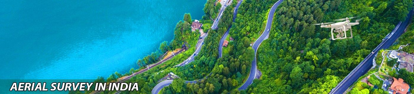
Highway & Road Survey:
Construction of highways and road lines requires information regarding elevation, depression, nature of land and an optimised map. All this information can be easily acquired by Drone Survey in India. Drones compile all this information at once, minimising the effort & cost. Collected data is further used by software to fulfil the specific client requirements.
Traffic Survey:
Traffic is a significant problem in metropolitan cities leading to road jams and other critical issues. A drone can easily monitor a wide area, and it enables us to understand the actual situation since the picture is very smooth. The alternate route can be found out to sort out the problem. Also, roads that are prone to accidents and dangerous to drive can be redesigned for safety. Drone Survey will surely sort out traffic and establishes road safety for public welfare.
Natural Disaster Survey:
Anyone cannot control natural Disasters but the recovery process is in our hands. Drone calmly observes the total affected area and an estimate of total damage can be calculated. Having an updated report acts as a catalyst in the recovery process. Aerial Survey plays a pivotal role to get over these disasters quickly.
Encroachment Survey:
In a country, Encroachment is a headache for the government of that country. Every year acres of land is taken over by illegal constructions and then claimed for legal. Surveillance by drone can take over encroachment process of the illegal construction by monitoring. Aerial Survey in India will take down all these activities by keeping an eye all over the place.
Aerialphoto.in is helping out India to grow more rapidly by providing aerial surveying service all over the nation. Aerial Survey in India is offered at a valid cost without any concession in client demand.
Contact Us

